Choose your city in Los Angeles county, California!

Los Angeles County is one of the original counties of California, created at the time of statehood in 1850. The county originally included parts of what are now Kern, San Bernardino, Riverside and Orange counties. As the population increased, sections were split off to organize San Bernardino County in 1853, Kern County in 1866, and Orange County in 1889.

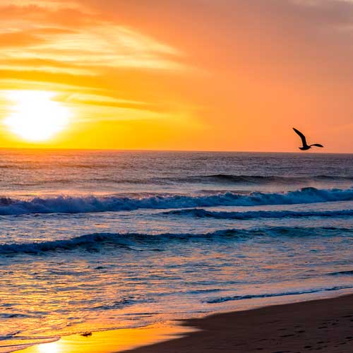
According to the U.S. Census Bureau, the county has an area of 4,751 square miles (12,310 km2), of which 4,058 square miles (10,510 km2) is land and 693 square miles (1,790 km2) (15%) is water. Los Angeles County borders 70 miles (110 km) of coast on the Pacific Ocean and encompasses mountain ranges, valleys, forests, islands, lakes, rivers, and desert.
Los Angeles County had a population of 9,818,605 in the 2010 United States Census. The racial makeup of Los Angeles County was 4,936,599 (50%) White, 1,346,865 (13.7%) Asian, 856,874 (9%) African American, 72,828 (0.7%) Native American, 26,094 (0.3%) Pacific Islander, 2,140,632 (21.8%) from other races, and 438,713 (4.5%) from two or more races.
Non-Hispanic whites numbered 2,728,321, or 28% of the population. Hispanic or Latino residents of any race numbered 4,687,889 (48%); 36% of Los Angeles County’s population was of Mexican ancestry; 3.7% Salvadoran, and 2.2% Guatemalan heritage.
The median income for a household in the county was $42,189, and the median income for a family was $46,452. Males had a median income of $36,299 versus $30,981 for females. The per capita income for the county was $20,683. There are 14.4% of families living below the poverty line and 17.9% of the population, including 24.2% of under 18 and 10.5% of those over 64. Los Angeles County has the highest number of millionaires of any county in the nation, totaling 261,081 households as of 2007.
In 2000, there were hundreds of Christian churches, 202 Jewish synagogues, 145 Buddhist temples, 48 Muslim mosques, 44 Bahai worship centers, 37 Hindu temples, 28 Tenrikyo churches and fellowships, 16 Shinto worship centers, and 14 Sikh gurdwaras in the county. The Los Angeles Archdiocese has approximately 5 million members and is the largest in the United States.
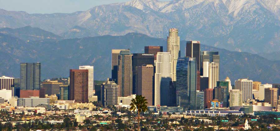
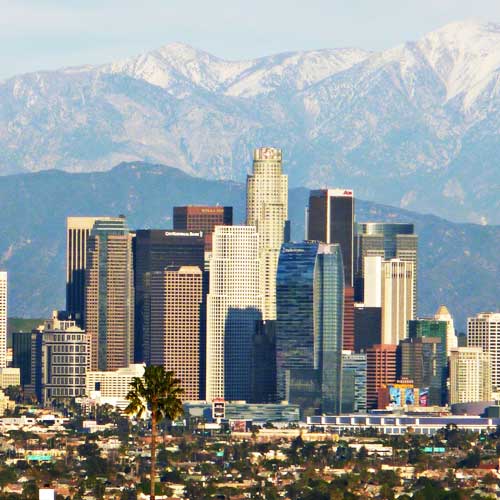
Los Angeles

Area
Total: 503 sq mi
Land: 469 sq mi
Water: 34 sq mi

Population (2016)
Total: 4,030,904
Density: 8,282/sq mi

View all listings

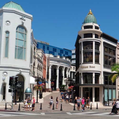
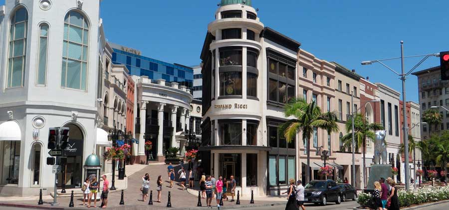
Beverly Hills

Area
Total: 5.710 sq mi
Land: 5.708 sq mi
Water: 0.002 sq mi

Population (2010)
Total: 34,109
Density: 6000/sq mi

View all listings

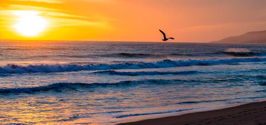
Malibu

Area
Total: 19.828 sq mi
Land: 19.785 sq mi
Water: 0.043 sq mi

Population (2010)
Total: 12,645
Density: 640/sq mi

View all listings

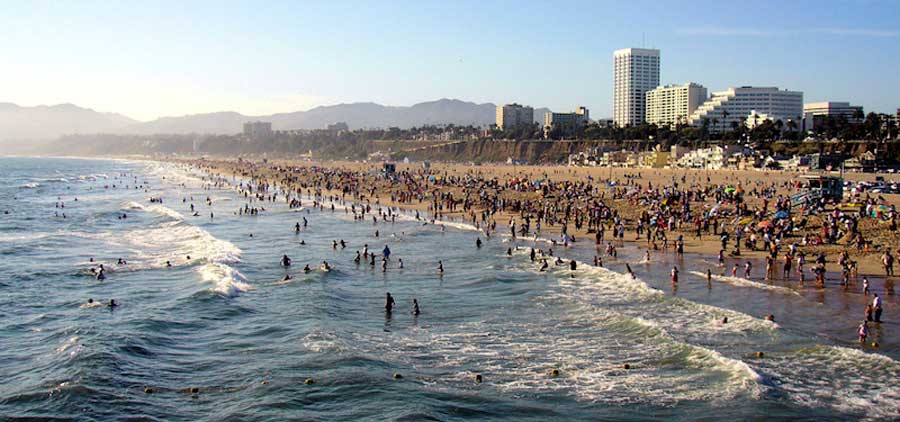
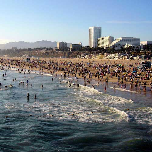
Santa Monica

Area
Total: 8.416 sq mi
Land: 8.415 sq mi
Water: 0.001 sq mi

Population (2010)
Total: 89,736
Density: 11,000/sq mi

View all listings

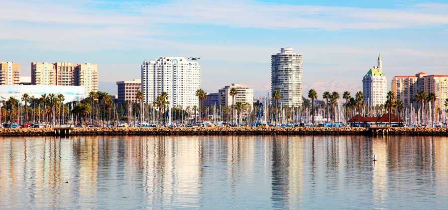
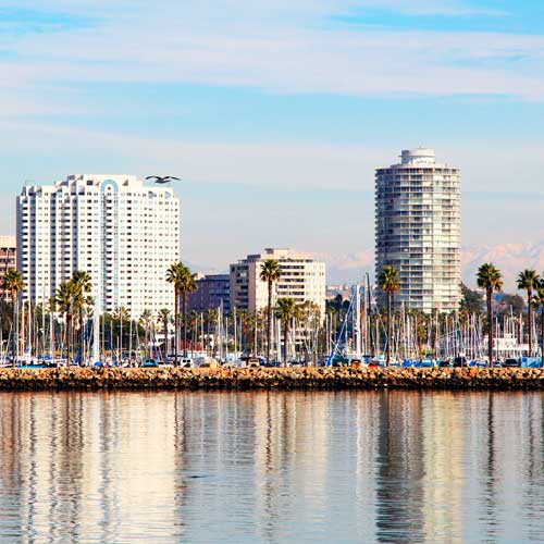
Long Beach

Long Beach

Area
Total: 51.437 sq mi
Land: 50.293 sq mi
Water: 1.144 sq mi

Population (2010)
Total: 462,257
Density: 9,000/sq mi

View all listings

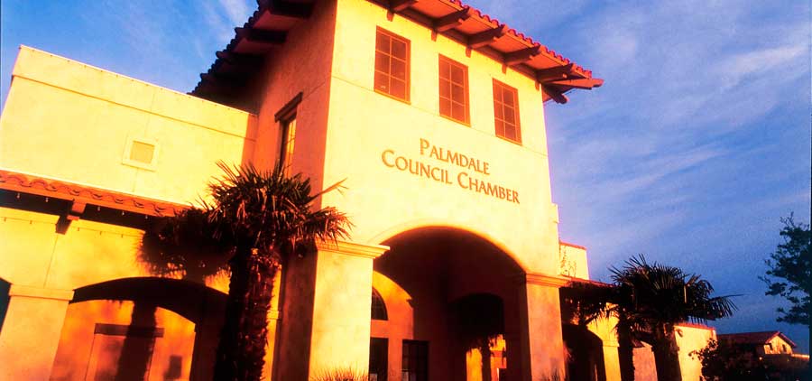
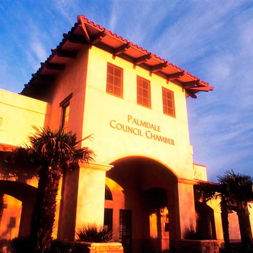
Palmdale

Palmdale

Area
Total: 106.216 sq mi
Land: 105.961 sq mi
Water: 0.255 sq mi

Population (2010)
Total: 152,750
Density: 1,400/sq mi

View all listings

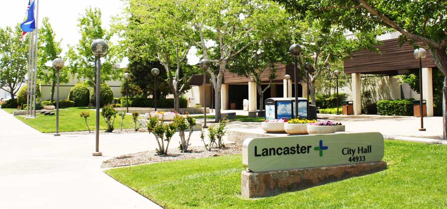
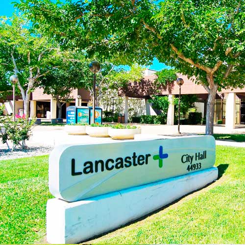
Lancaster

Lancaster

Area
Total: 94.547 sq mi
Land: 94.276 sq mi
Water: 0.271 sq mi

Population (2010)
Total: 156,633
Density: 1,700/sq mi

View all listings

Pasadena

Pasadena

Area
Total: 23.128 sq mi
Land: 22.970 sq mi
Water: 0.158 sq mi

Population (2010)
Total: 137,122
Density: 5,900/sq mi

View all listings

Whittier

Whittier

Area
Total: 14.716 sq mi
Land: 14.7 sq mi
Water: 0.016 sq mi

Population (2010)
Total: 85,331
Density: 5,800/sq mi

View all listings

Arcadia

Arcadia

Area
Total: 11.133 sq mi
Land: 10.925 sq mi
Water: 0.208 sq mi

Population (2010)
Total: 56,364
Density: 5,100/sq mi

View all listings

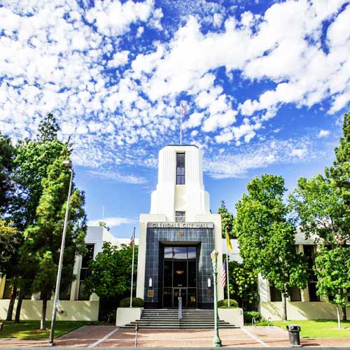
Glendale

Glendale

Area
Total: 30.583 sq mi
Land: 30.453 sq mi
Water: 0.130 sq mi

Population (2010)
Total: 191,719
Density: 6,300/sq mi

View all listings

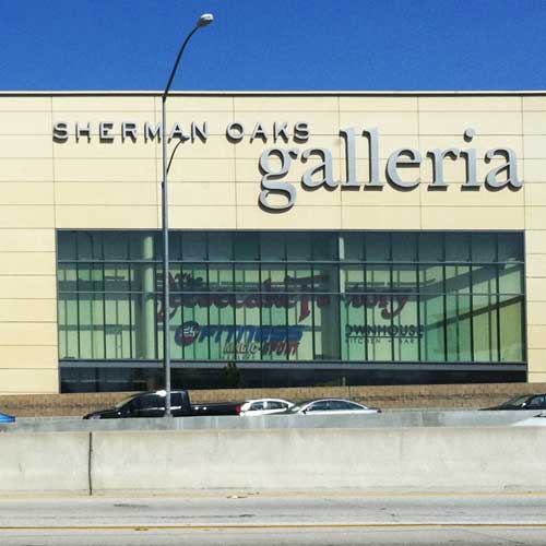
Sherman Oaks

Sherman Oaks

Area
Households: 25,255
City: Los Angeles
ZIP Code: 91403, 91423, 91495

Population (2010)
Total: 52,677
Density: N/A

View all listings

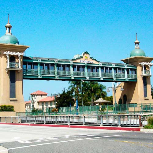
Pomona

Pomona

Area
Total: 22.964 sq mi
Land: 22.952 sq mi
Water: 0.012 sq mi

Population (2010)
Total: 149,058
Density: 6,500/sq mi

View all listings

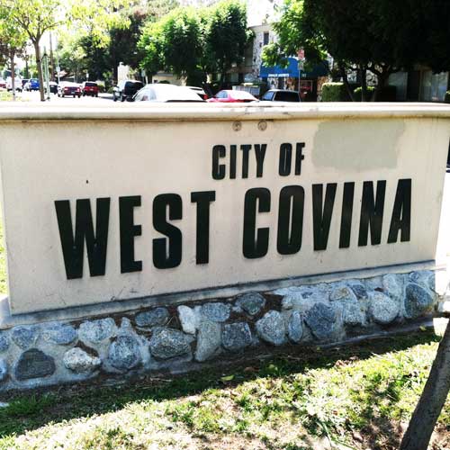
West Covina

West Covina

Area
Total: 16.090 sq mi
Land: 16.041 sq mi
Water: 0.049 sq mi

Population (2010)
Total: 106,098
Density: 6,600/sq mi

View all listings

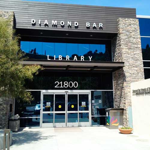
Diamond Bar

Diamond Bar

Area
Total: 14.885 sq mi
Land: 14.880 sq mi
Water: 0.005 sq mi

Population (2010)
Total: 55,544
Density: 3,700/sq mi

View all listings

Downey

Downey

Area
Total: 12.568 sq mi
Land: 12.408 sq mi
Water: 0.160 sq mi

Population (2010)
Total: 111,772
Density: 8,900/sq mi

View all listings

Woodland Hills

Woodland Hills

Area
Households: 29,119
City: Los Angeles
ZIP Code: 93164, 93167

Population (2008)
Total: 59,661
Density: N/A

View all listings

Encino

Encino

Area
Elevation: 774 ft
City: Los Angeles
ZIP Code: 91316, 91436

Population (2008)
Total: 44,581
Density: 4,692

View all listings

Canyon Country

Canyon Country

Area
Elevation: 1,529 ft
City: Santa Clarita
ZIP Code: 91351

Population (2010)
Total: 59,530
Density: N/A

View all listings

Northridge

Northridge

Area
Total: 9.47 sq mi
Land: 9.47 sq mi
Water: 0 sq mi

Population (2000)
Total: 57,561
Density: 6,078/sq mi

View all listings

Valencia

Valencia

Area
Elevation: 1,017 ft
City: Santa Clarita
ZIP Code: 91354, 91355, 91385

Population (2010)
Total: 61,327
Density: N/A

View all listings

Torrance

Torrance

Area
Total: 20.553 sq mi
Land: 20.478 sq mi
Water: 0.075 sq mi

Population (2010)
Total: 145,438
Density: 7,100/sq mi

View all listings

Burbank

Burbank

Area
Total: 17.380 sq mi
Land: 17.341 sq mi
Water: 0.038 sq mi

Population (2010)
Total: 103,340
Density: 5,900/sq mi

View all listings

Covina

Covina

Area
Total: 7.041 sq mi
Land: 7.026 sq mi
Water: 0.015 sq mi

Population (2010)
Total: 47,796
Density: 6,800/sq mi

View all listings